LAND DEVELOPMENT INTELLIGENCE PLATFORM
Win More Work with LiDAR and AI
Software for civil engineering consultants that integrates land data (LiDAR, parcels, topography) and AI to complete proposals and projects faster, and more accurately.
Trusted by Over 400 Customers
How Does Equator Work?
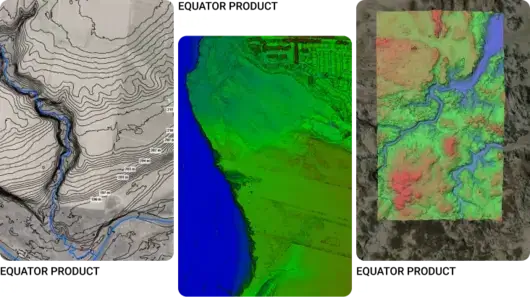
The Equator platform uses LiDAR and AI to help your team get high-quality proposals and projects out the door faster.
Your new competitive advantage for RFP Responses and Proposals
Scrambling to find the best content for a proposal? Poor understanding of the site? Proposals that sound like ten people wrote them?
Transform the way your team delivers proposals with Equator!
Equator uses built-in high-resolution LiDAR data and AI to help your team understand the site in greater detail and craft stronger proposal narratives.

Stronger proposal narratives
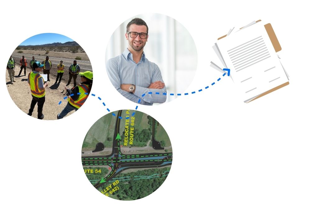
Enhance the narrative of your proposal or RFP response by leveraging site data and AI narrative-building functionalities tuned specifically for your firm!
Less scramble, more consistency
Generate a proposal draft in a fraction of the time using AI RFP analysis and content discovery features. Proposals are consistent with the client’s needs and your firm’s brand every time.
Win more projects, faster
Reduce the time it takes to create a high-quality, response that tells the right story. Win work and build a strong backlog, while freeing up your marketing leaders for impactful work.
Our Customers’ Results
↑ 3X Faster Deliverables
Our Mission
Building communities and infrastructure faster by empowering civil engineers with data, insights, and confidence.

Our Case Studies
Proposals: How Abel cut his proposal costs and sped up his projects with Equator →
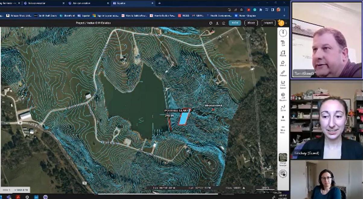
Drainage: How Clint Speeds Up Drainage Assessments and Real Estate Decisions with Better Topo Data →
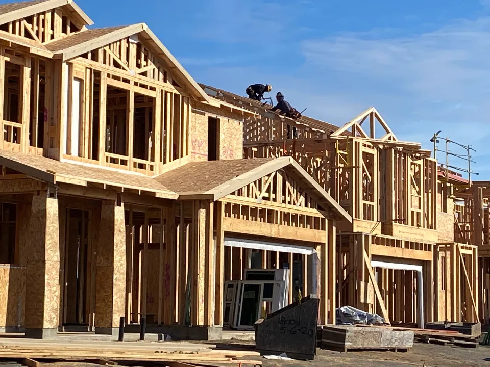
Real Estate: How Tom Accelerates Real Estate Development and saved $30,000 using Equator →
Disaster Relief: How Jose used Equator to dramatically speed up relief response after hurricane Fiona →


